

The Kronstadt sea-gauge with the tide gauge pavilion is a zero-level of the Baltic system depths and heights. All depths and altitudes (even the heights of the flight spacecraft) in Russia and some other countries (former Russian Empire) are measured from the level of Kronstadt sea gauge. Yuri Gagarin, the first spaceman in the World, ironically said in 1967 that this is it the Hub of the Universe.

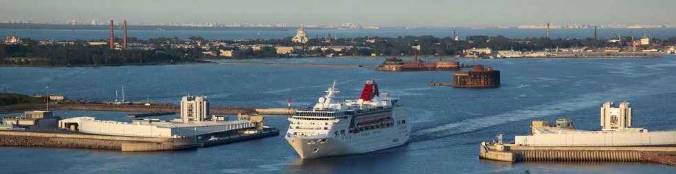
The sea level observing began in St. Petersburgin 1703. On the Kotlin Island, where the main naval fortress of the Russian Empire situated, the same service was appeared in 1707. This monitoring was necessary because level of the Finnish Gulf could change considerably in a short time. This changes created a problems for shipping. In addition the annual flood required close monitoring of the water level.

In the first half of the 19th century, the average level of the Gulf of Finland was deduced. In 1840 on the granite abutment of the Blue bridge in Kronstadt a mark was stamped according to the idea of a hydrographer M. F. Reineke. This mark became a zero-point for the national system of altitudes.
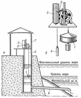
In 1898 the first wooden building for the tide gauges was constructed. A special device – mareograph (the water level recorder) was put inside. The modern building for the Kronstadt sea-gauge was built in the mid-XX century. Now all indications are transmitted in real time by automated systems, but traditionally four times a day a meteorologist takes data directly from paper chart recorder.